Overnighter on the Oregon Coast Trail
Trip report after 14 miles, one hitchhike ride, an ocean dip, and just enough snacks.
This week I thought it would be fun to share a trip report of my time on the Oregon Coast Trail, similar in format to the travel stories I write for publications. I’d been pining to hike a section of the coastal trail after reporting on it for Backpacker. A new action plan calls for upgrades—like campgrounds and ferry services—that would make it more friendly to pedestrians. Already, walking for miles along the Pacific Ocean and up the headlands through fern-filled forests sounds charming, but my sources see even more potential: “Could the OCT become a coffee camino or hut traverse like in Europe? Could backpackers one day indulge in lobster and beer on a ferry while they cross water sections?”
The possibilities! But the thing about the OCT is it’s not easy to find a stretch that doesn’t touch Highway 101. You’re forced to either cross it, walk alongside it, or sprint through a tunnel while praying a driver sees you and slows down. Even though it’s a fairly easy 400 miles with little elevation change (compared to other popular thru hikes), the road sections deter curious hikers who are otherwise into the idea of taking long walks on the beach. The logistics just aren’t worth it to them given that 25 percent of the trail is on the highway and local roads. And I haven’t even told you about the high tide warnings and lack of restrooms yet.
Surely there had to be a stretch that avoided roads altogether. In my research, which consisted of zooming in and out, and in and out, on the OCT map in the FarOut app, I found a section of about 14 miles that, except for crossing an iconic bridge, stayed on sand. I convinced my friend Ali to join and we hiked it in July.
I think we both agreed that it wasn’t the best hike or the worst hike we’d ever done. It was fairly mellow and there were no major complications, just a few minor annoyances mostly out of our control, like with any hike. A loud fellow camper. Some unclear route finding. I honestly didn’t know what to expect. Mostly, it was full of delights—like tide pools, sea caves, a surprise swing and picnic spot, and solitude on the wide open beach.
As a new Oregonian, it felt like a rite of passage, and it gave me a new appreciation for “the people’s coast,” which I’ll be writing about more in the near future for outlets. In the meantime, here’s a recap of our time out there.
Fast Facts
About 14 miles in 24 hours
Northern terminus: Yaquina Head Lighthouse
Southern terminus: Ona Beach
Campground: South Beach State Park, $8/person for a hiker-biker site
Snack stop before and after: Bigfoot’s Beach House in Depoe Bay
Parked at the intersection of NW Agate Way and NW Gilbert Way in Newport (at the beach access sign) and hitchhiked back to the car
Day 1
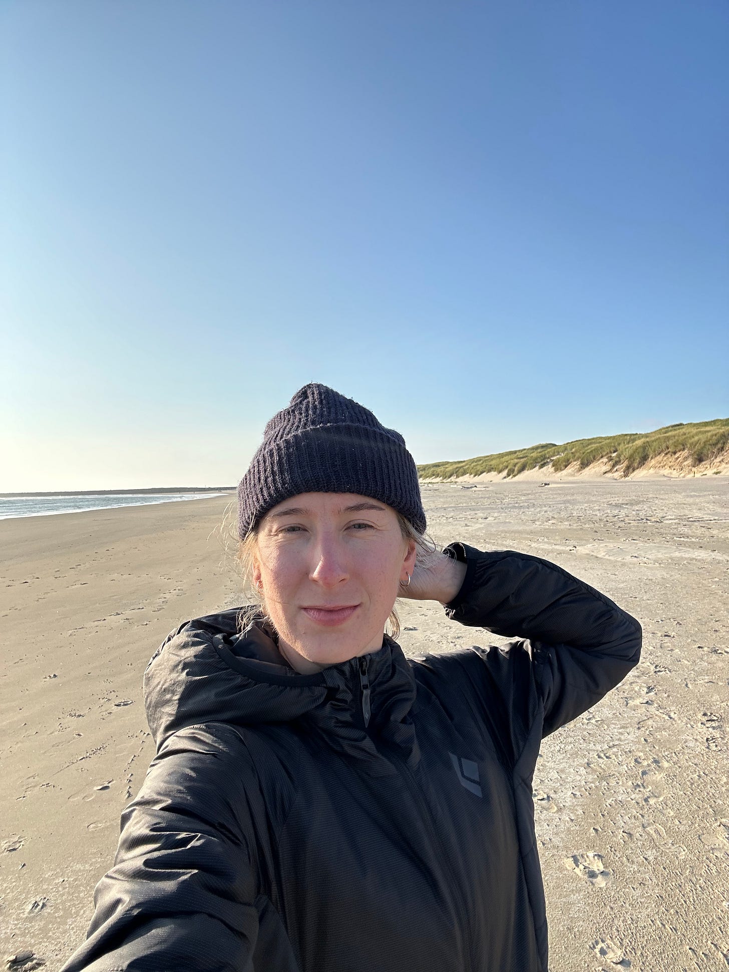
When we parked and got out of the car, the first thing I thought was, “Oh shit, I didn’t pack any pants.” Temperatures back home in Portland were in the 100s, so I couldn’t imagine wearing anything other than shorts. But I should’ve known better. The coast is always colder. Ali kindly let me borrow her extra pair. In the hatchback of my Prius, we divvied up our snacks and left a few items behind to cut weight. Then we repacked our Osprey Aura packs and headed for the beach.
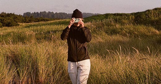
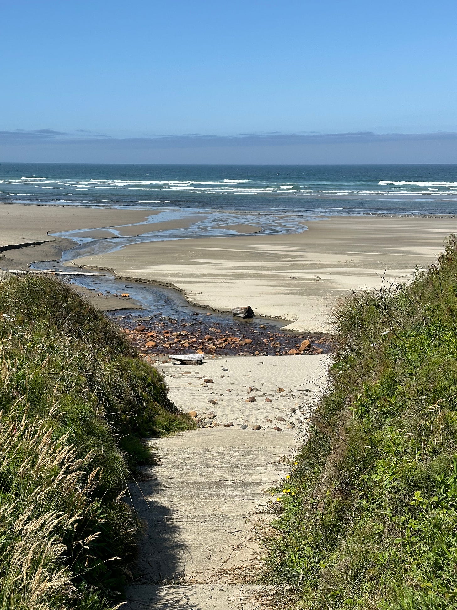
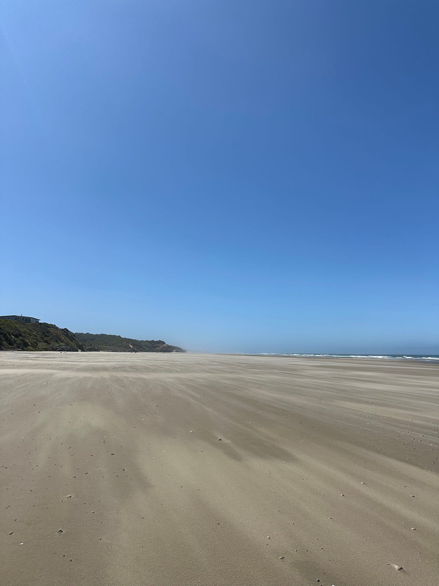
Walking south, the ocean stayed to our right. Bluffs and dunes rose to our left. A breeze created rippling patterns in the acres of sand before us. A few times we came upon streams and pools of water, which we crossed carefully. I joked that we looked like we were doing the sandwalk in Dune. Only a handful of other people were out there that Wednesday making it eerily empty. But just over the cliff were the towns Agate Beach and Newport with a Taco Bell and a Fred Meyer and coffee stands and gas stations.
It took us a few hours to reach Yaquina Beach, where we exited the beach to cross over the Yaquina Bay Bridge. A big wooden sign with a snipped of Oregon’s whitewashed history told us that Captain James Cook made landfall here on March 7, 1778. “On account of the heavy weather, he was compelled to stand out at sea at night and only approach the land in the afternoon so that he was unable to find any harbor along the Oregon coast.” Whoever wrote it could’ve used a copywriter. We crossed the bridge slowly with our big backpacks on, straps flapping as cars sped by.
Eager to get off the road again, we found a local path leading to South Beach State Park where locals had rigged up a tree swing. Of course we stopped to swing. I felt like a kid again swinging my legs to get higher and higher. It was only 3:30 p.m. by the time we snagged a hiker-biker site within the bigger RV campground. The site wasn’t anything special. It was right next to the toll booth. Another camper there told us he was a walking profit and played his worship music loudly while swigging whiskey. We stayed away as best we could.
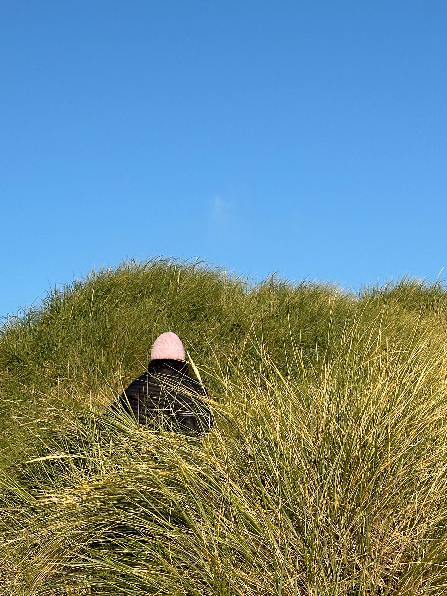
After a nap and agreeing we weren’t hungry yet, we walked to the beach, this time without our packs. Weightless and free, we stripped our clothes and ran into the ocean, only after some convincing that it’d feel great and the cold was only temporary. And we were right. We were too early for sunset, but this time of day was still magical. Golden light spilled over the long sea grass, and coastal flowers nestled in their tangles. The blades appeared softer than they actually were.
Bikepackers had arrived by the time we got back to our site, making the campground feel livelier and friendlier. A welcome distraction from the weird guy. While we cooked dinner at one of the communal picnic tables, they chatted around us about their harrowing bridge crossing and their mileage for the day. Darkness fell. Campers, including us, retreated into their tents. Quiet followed—except for the blow of a fog horn that had become comforting white noise.
Day 2
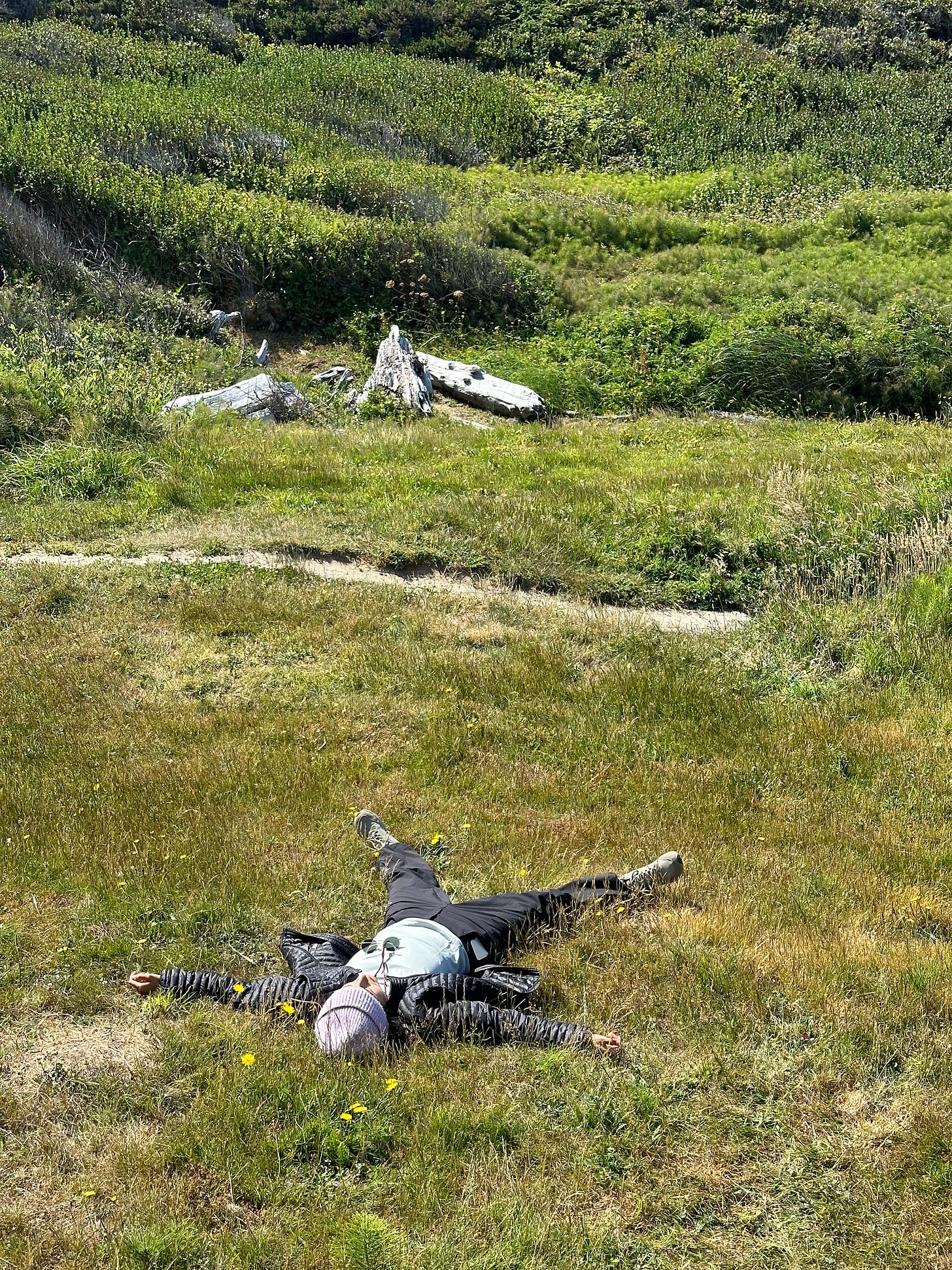
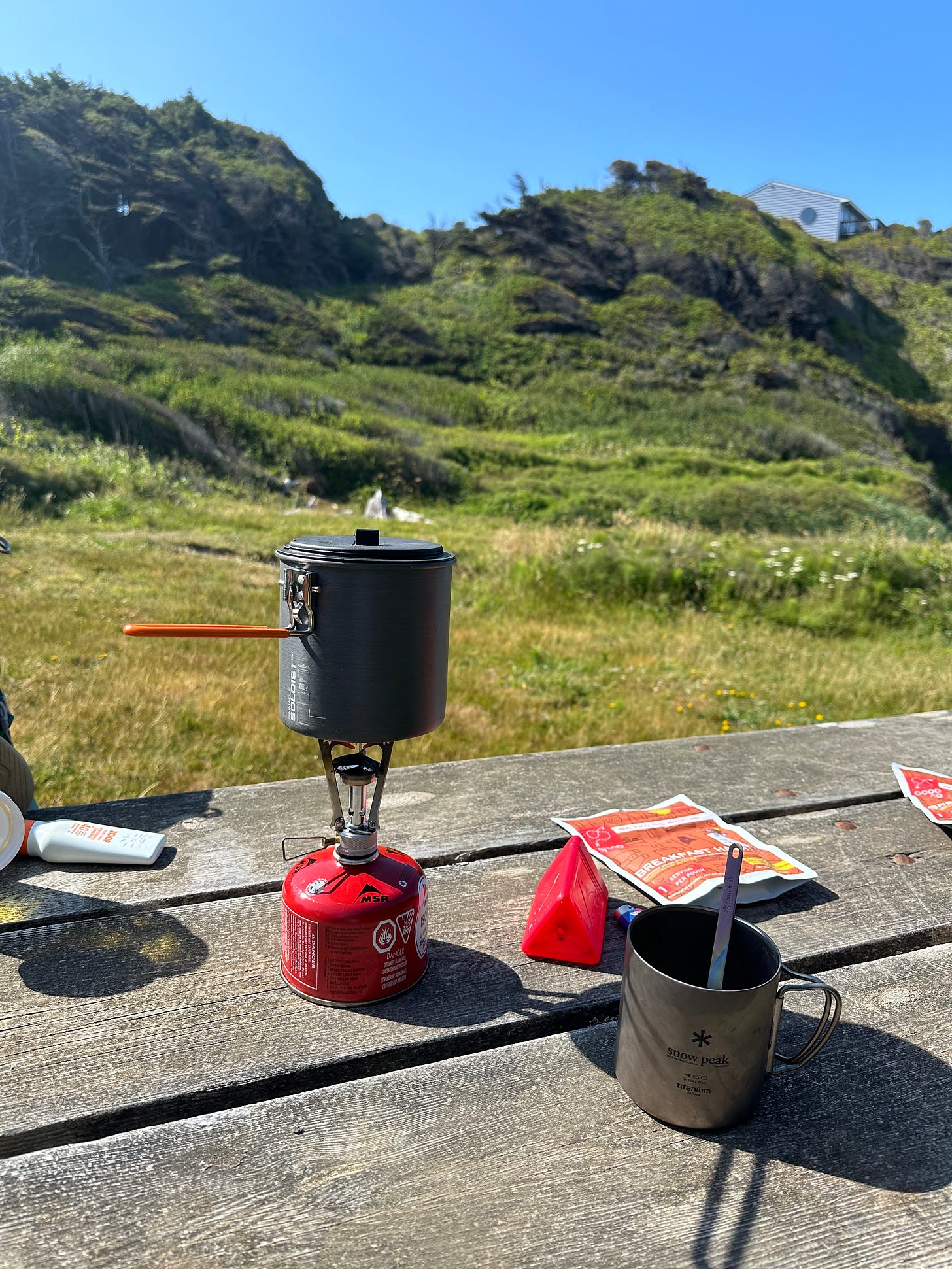
I always think I’ll wake up with the sun when I’m camping, but it’s often the early daylight’s warmth that keeps me asleep—or at least cozy under the covers. The camp was still quiet when we wriggled out of our sleeping bags around 8 a.m. We broke down our tent quickly, and walked down the same path we had entered on to return to the sand. The original plan had been to take a morning ocean dip. The night before’s was so invigorating. But the tide was far out and we had a lot of walking to do. Instead, we found a grassy patch with a picnic table, supposedly a private park, to cook breakfast. Nobody bothered us. We had a view of the sea. Sun warmed the day, while the seaside breeze cooled us down. We ate, we stretched, we laid in the grass. I didn’t have service otherwise I would’ve pinned the spot for next time, but maybe it’s better to come upon it as a surprise.
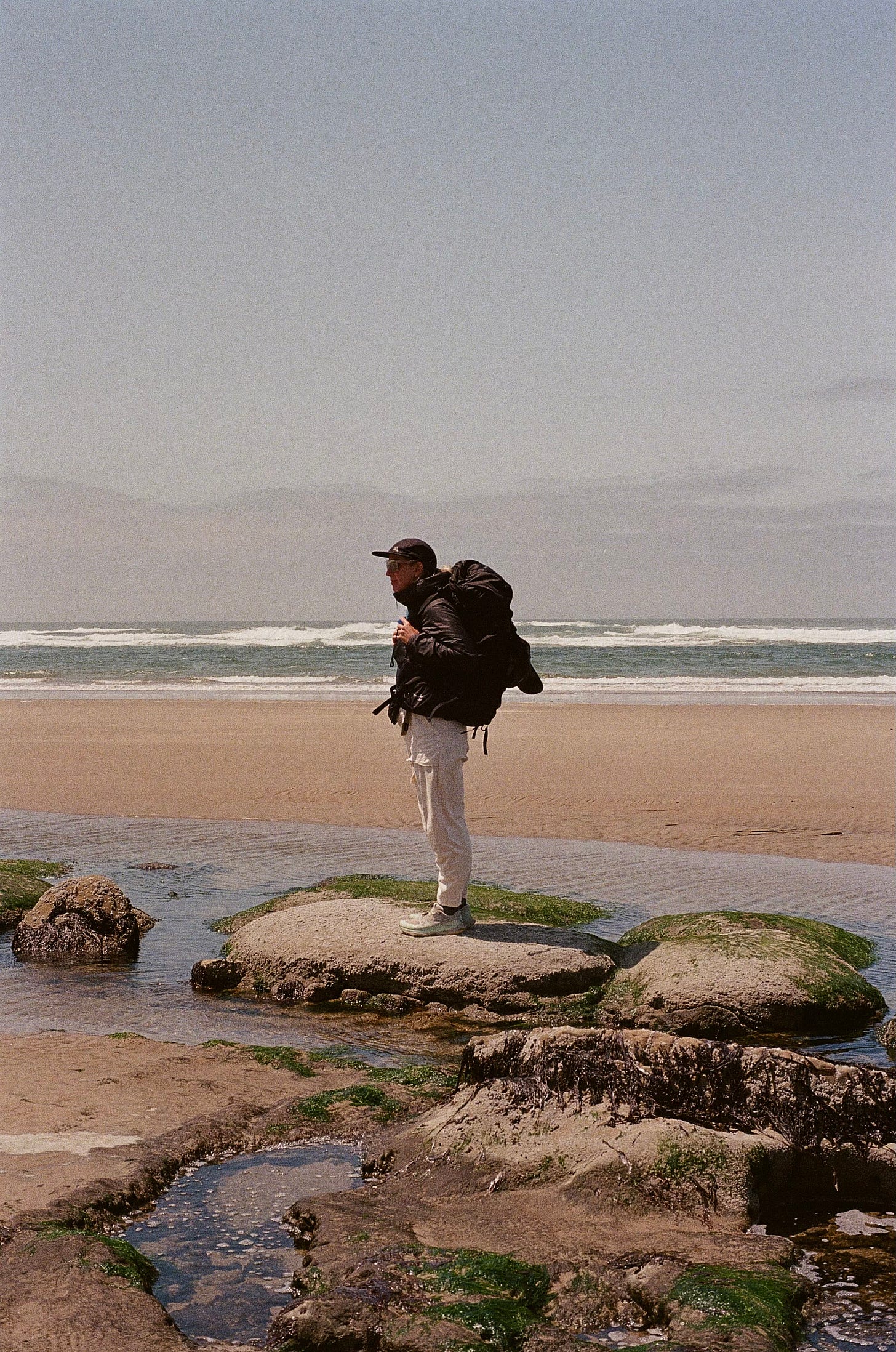
Walking, walking, and more walking. More stream crossings. More sand in our shoes. We looked for starfish and sea anemones in the tidepools, and we marveled at the mossy rocks that formed aqua-colored shallow pools. If they weren’t teeming with bacteria, I would’ve waded into their warm blue water. Instead we took pictures and carefully plotted our hops around the slick moss.
Soon we arrived at Ona Beach, right before Beaver Creek snakes into the ocean. We decided that would be our end point. Now it was time to hitchhike back, and I was a little nervous. I had never done it before, and Ali had only once before. The cars were going fast on Highway 101. We found a generous-sized driveway and stuck out our thumbs. It only took a few minutes for a Prius with a surfboard strapped to the roof to turn around for us, and a woman in a wetsuit with a carseat in the back invited us to hop in. Twenty four hours later, we were back at our starting point. We celebrated with a big bag of perfectly-crisped french fries (only $4!) from a little spot in Depoe Bay.
Thanks to Ali for trusting my plan, thanks to our driver for delivering us safely, and thanks to the ocean for the healing whispers and cleansing rinse. I will return.

